City of Cleveland
Chris Gaylor - GIS Administrator
Manages features within the City Limits. Streets, Addresses, Stormwater, Zoning, etc.
What is it?
A geographic information system, or GIS, is by definition a system that stores, captures, manipulates, and analyzes geographic (location-based) data. For the end user, this data is typically presented as a map layer with an attached data table containing the information for each feature on the map.
The City of Cleveland utilizes GIS to manage infrastructure, perform analysis, and ultimately make informed decisions. GIS is a valuable resource that is incorporated somehow in almost every department at the City.
The City of Cleveland works closely with other agencies to obtain data.

Chris Gaylor - GIS Administrator
Manages features within the City Limits. Streets, Addresses, Stormwater, Zoning, etc.

David Yost - GIS Director
Manages utility infrastructure. Electric, Lighting, Water, Waste Water, and Traffic.

Wayne Owenby - GIS Director
Manages features within the county. Parcels, county addressing, streets, etc.

Angela Bledsoe - GIS/CAD Coordinator
Formats data for use in CAD (Computer Aided Dispatch) & MDT's (Mobile Data Terminals). Maintains emergency service districts.
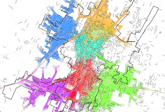
Take a look at some of our current projects.
If you have a question about maps or data, please feel free to contact us.